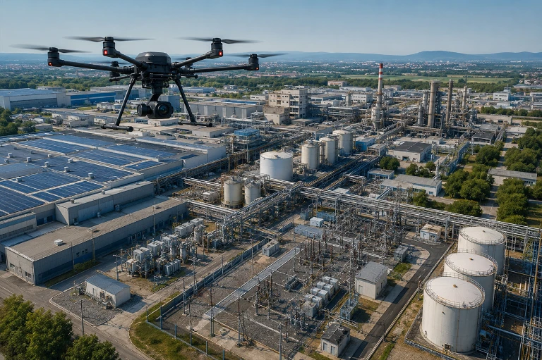
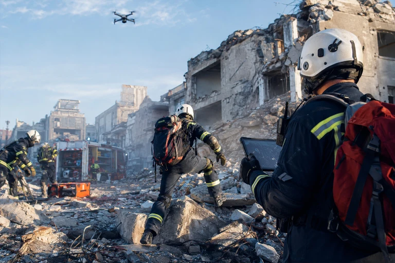
Drone and Unmanned Aerial Systems
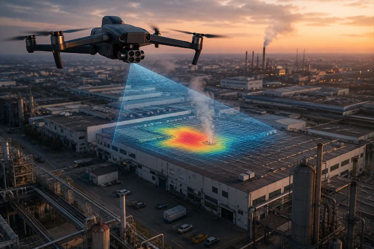
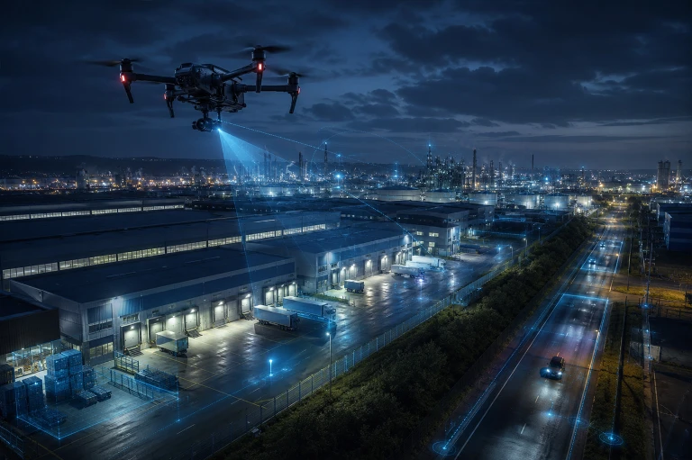
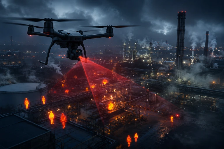
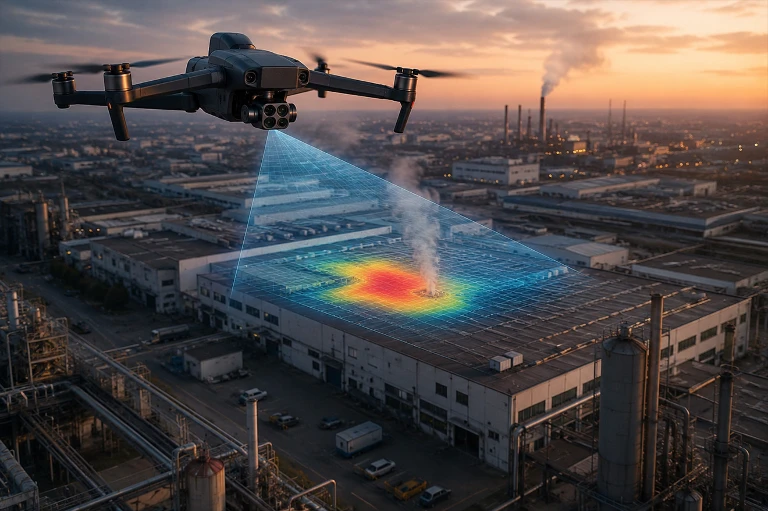
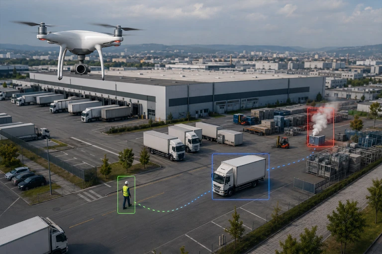
Combine autonomous aerial patrol, thermal analysis, and remote inspection within a single operational structure.
We design enterprise UAV systems integrated with artificial intelligence and command centers, providing security, inspection, and emergency response teams with rapid aerial visibility across large areas.
iTech Project addresses mission scenarios, aircraft, payloads, communications, automated stations, flight software, image analytics, and data management as an integrated whole. From fixed pilot operations to drone in a box architectures, every solution is designed according to site conditions, flight safety, regulations, and the organization’s security processes.
Operational limitation: Autonomous routing and remote mission capability do not mean unrestricted or unauthorized flight. Airspace, flight permissions, pilot competency, weather conditions, connection quality, visibility conditions, and site risks must be evaluated for every mission.
- Engineering Approach for Enterprise Drone Systems
Why iTech Project?
iTech Project approaches the drone not as a standalone product, but as an enterprise system consisting of mission, infrastructure, software, analytics, integration, and regulatory components.
Through vendor independent evaluation and pilot testing, it develops solutions that are practical, secure, and scalable in real world field conditions.
Mission-Appropriate System Architecture
We create the right system architecture by evaluating the drone platform, sensors, payloads, and software components together according to operational requirements.
Integration with Enterprise Systems
We integrate the drone infrastructure with VMS, GIS, alarm management, and AI powered analytics systems in a controlled and manageable manner.
End-to-End Project Management
We manage every stage of the project, from site survey and needs analysis to pilot implementation, installation, integration, testing, and acceptance.
Sustainable Operational Support
We support the secure and uninterrupted operation of the system through training, technical documentation, maintenance, updates, and modernization services.

Cybersecurity and Data Governance
Aerial imagery, location data, flight records, and facility data must be managed in accordance with the organizations information security and personal data policies. Depending on product and architecture support, the following controls are designed:
- Role based access, strong authentication, and session logging
- Encrypted communications, secure remote access, and network segmentation
- Data residency, retention, sharing, and deletion policies
- Firmware, application, certificate, and vulnerability management
- Audit trails for flight, mission, user, and evidence operations
Flight Regulations and Operational Safety
In Türkiye, civil UAV operations must be planned in accordance with the current SHT UAV provisions, DGCA registration and flight permission processes, airspace restrictions, pilot requirements, and relevant local permissions. The DGCA UAV Registration System states that UAVs weighing 500 grams or more require registration/approval and that flight permission is required for operations outside designated free-flight zones.
- Airspace, prohibited/restricted area, and NOTAM checks
- Registration, pilot, and operational documentation appropriate to the UAV class and activity
- Assessment of visual line-of-sight, night, remote, or automated mission conditions
- Emergency, lost-link, safe landing, and accident procedures
- Facility security, occupational health and safety, and privacy measures
Since regulations and airspace conditions may change, the current official resources of the DGCA and decisions of authorized institutions should be checked before every project and mission.
Application Areas
Security for factories, warehouses, logistics centers, ports, and campuses, inspection of power plants, solar farms, pipelines, and critical infrastructure, operations in mines, construction sites, stockyards, and large land areas, forest, fire, disaster, search and rescue, and emergency response support, mapping, progress tracking, asset inventory, and digital model generation, municipal, environmental monitoring, and smart city applications.
Frequently Asked Questions
Drone in a box is an operational architecture that enables a drone to automatically deploy from a protected station, return to the station after completing its mission, and recharge. However, the station alone is not sufficient. Airspace, flight permissions, communications, safety, and remote supervision processes must also be designed together.
The technology can support keeping the system continuously ready for deployment. However, flights depend on weather conditions, permitted operating times, airspace conditions, maintenance requirements, battery level, connectivity, and defined risk limits. Therefore, the term 24/7 refers to the objective of operational readiness rather than unconditional flight.
Thermal cameras detect infrared energy emitted from surfaces; they cannot see through walls. Under certain smoke conditions, they may provide more useful imagery than visible-light cameras. However, smoke density, distance, humidity, and other environmental conditions can limit thermal imaging performance.
No. AI-powered analytics are decision support tools that help operators prioritize suspicious events. Detection accuracy depends on image quality, camera positioning, and site conditions. Critical alarm and response decisions should be based on human verification and defined procedures.
When the supported video stream, API structure, and security policies are suitable, drone footage can be integrated with VMS, PSIM, SOC, GIS, or mobile team applications. System compatibility, video latency, bandwidth, user permissions, and licensing requirements should be validated through pilot testing.
Permission requirements may vary depending on the aircraft class, weight, purpose of use, flight location, and airspace characteristics. In Türkiye, the DGCA UAV Registration System and the current SHT UAV provisions should be checked before every mission for registration, pilot authorization, and flight permission procedures.